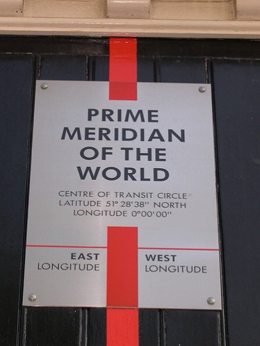
What Was the World Like Before the Invention of the Prime Meridian?

Time was a mess. A lot of important countries around the world had different times, so international communication and travel was extremely hard to coordinate. It affected business and sea travel.
The basis of the Prime Meridian was the idea of the spatial reference system, created by Ferdinand Hassler in the early 19th century. The purpose of this system was to aid mariners sailing in and out of New York.
Once completed, the reference system would help mariners find their location at sea, and give them a visual reference to their destination. Before Hassler created the spatial reference system, sailors at sea had very few ways to calculate their location and the distance to their destination.
Before the Prime Meridian existed, many different countries had their own meridians, so people could not be sure that international time and navigation would be accurate. For example, France and Algeria both used Paris as their meridian, Portugal used Lisbon, and some countries even had multiple meridians.
In the first century A.D., Ptolemy had created a meridian running through the Canary Islands that he thought marked the western border of the world.
The spatial reference system is based on the Prime Meridian, and if the meridian is not in a common location for all countries, a point found with latitude and longitude could be in multiple places according to the location of the country's meridian.
In 1881, it became possible for people to send telegrams, and for for the first time, people cared about what time it was in another country. The Prime Meridian made it possible for anyone to quickly find that out. Before the common meridian, transportation by way of ships were very common but it was hard for people on ships to exchange latitudes and directions at sea.
If the Prime Meridian had not been established, none of these issues would have been resolved.
By Caroline Lucas and Jade Mulcahy
